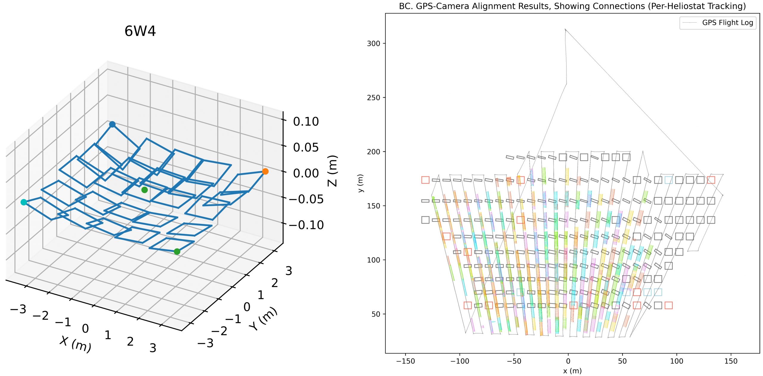
After a drone flight in December 2020, we analyzed the video to track heliostat corners over time. The resulting corner trajectories were then used to compute an estimate of the heliostat 3-d shape, including facet canting. The resulting 3-d shapes were then combined with the overall drone trajectory to estimate heliostat locations and tracking angles in the solar field. After manual selection of key frames with boxes enclosing labelled heliostats, this calculation was automatic. This code has only been run against one data set, tracking 168 heliostats over 18,570 frames.
OpenCSP_Code: opencsp/opencsp/contrib/app/ufacet-s/helio_scan
Incomplete, rough. Tested against only one data set.
- R. Brost, D. Small, D. Novick, and B. Bean. High-Speed UAV Assessment of Heliostat Fields. Presented at Near Earth Autonomy, April 1, 2024.
- R. C. Brost, D. E. Small, D. Novick, and B. Bean. High-Speed Assessment of Heliostat Fields without Disrupting Operations. ES 2023 17th International Conference on Energy Sustainability, Washington, DC, July 2023.
- R. C. Brost, P. A. Apostolopoulos, D. E. Small, D. K. Novick, N. R. Jackson, Micah S. Mann, and Eirini Eleni Tsiropoulou. High-Speed In-Situ Optical Scanning of Heliostat Fields. SolarPACES 2021.
